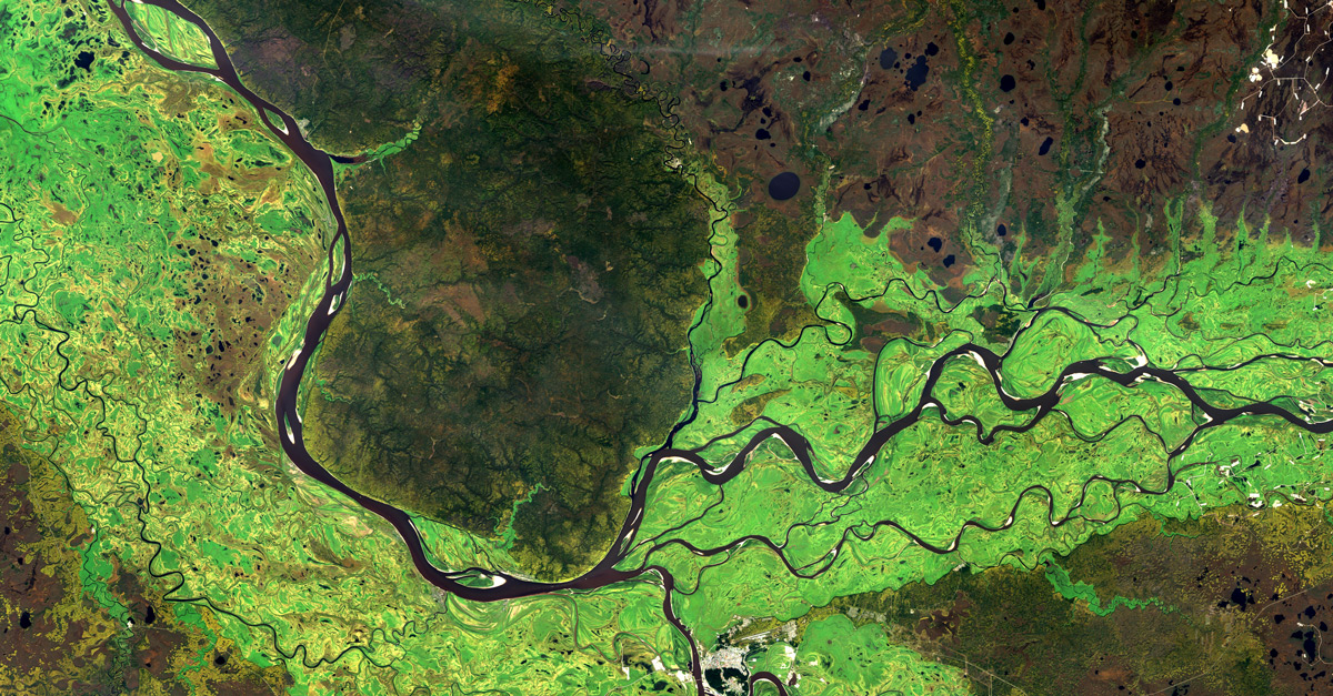
In recent years, satellite imaging and its analysis have become a tool that is revolutionizing the work and spatial planning of local government units (LGUs). Nowadays, thanks to the dynamic development of space technology, we can obtain high-resolution images of our planet from the Earth’s orbit. Widespread access to imaging and its affordability, are no longer a prohibitive factor for LGUs. It’s remarkable how satellite imagery can help LGU carry out their daily tasks and support the development of local communities.
One of the more topical climate and environmental issues affecting LGU is the so-called urban heat islands (UHI). This is the most characteristic feature of the urban climate. The term describes an urbanized area that is characterized by higher temperatures than neighboring adjacent areas. The higher temperature is caused by human activities, i.e. a significant concentration of buildings, asphalt roads and other surfaces that absorb more solar radiation. The introduction of periodic monitoring of urbanized areas, makes it possible to locate UHI and take countermeasures, i.e. increase the number of green areas, implement sensible urban planning that will increase air circulation, or promote the use of building materials that have a high solar reflectance.
Taking up the fight against UHI translates in the long term into, among other things, the health of the local community, increased savings for electricity used by air conditioning and savings on water used in water curtains.
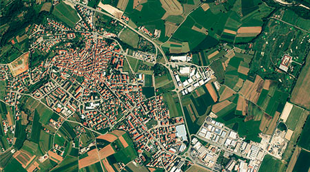
Another aspect that affects the operation of LGU, is the use of satellite imagery by tax departments in correlation with spatial databases, i.e. Land and Building Register. The acquired image data are used for ongoing monitoring and verification of property tax or approximate determination of retention tax. In addition, the images make it possible to identify areas used for economic activities that have not been declared for taxation, which will provide additional revenue to the budget of the local government.
It is also worth mentioning the possibility of using satellite data and geographic information systems in the context of the spatial planning reform, included in the Law of July 7, 2023 on amending the Law on Spatial Planning and Development. The use of imagery can support the work of planning departments and urban planning in the preparation of local and general plans. Their skillful use for local plans, will make it possible to quickly drape biologically active areas, built-up areas necessary for calculating the land use index, viz:
- maximum share of built-up area
- minimum share of biologically active area
- index of the number of parking spaces
Another aspect of the use of imaging in the context of the introduced reform, is monitoring its compliance with general and local plans. Satellite imagery makes it possible to verify in real time the current spatial development of the municipality and its compliance with the guidelines. Any changes in use, i.e. illegal construction or any authorized changes, transformation of green areas, are quickly detected and compared with the approved plan.
Satellite imagery is a revolutionary solution for LGUs. They provide accurate and up-to-date data for better spatial planning, monitoring of the situation in the municipality and management of owned resources. Through the use of technology, local government units can more effectively carry out the tasks entrusted to them, contribute to the achievement of sustainable development goals and improve the quality of life of local communities. A thorough analysis of satellite imagery of the municipality, is a kind of diagnosis indicating the places that require the attention of the authorities of the LGU. In addition, it can also positively affect their economic situation.